55°43′10′′ N 9°19′25′′ E

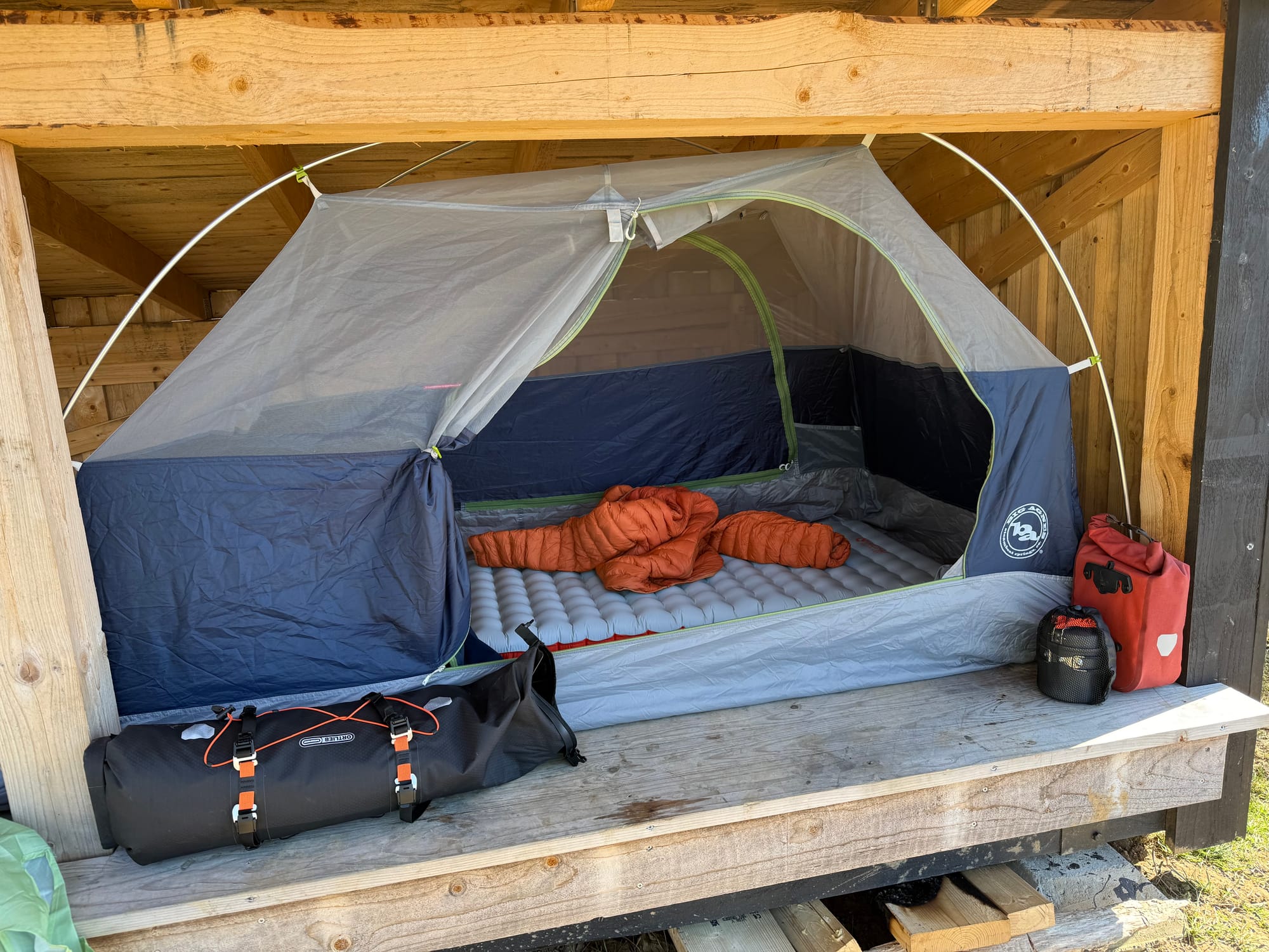
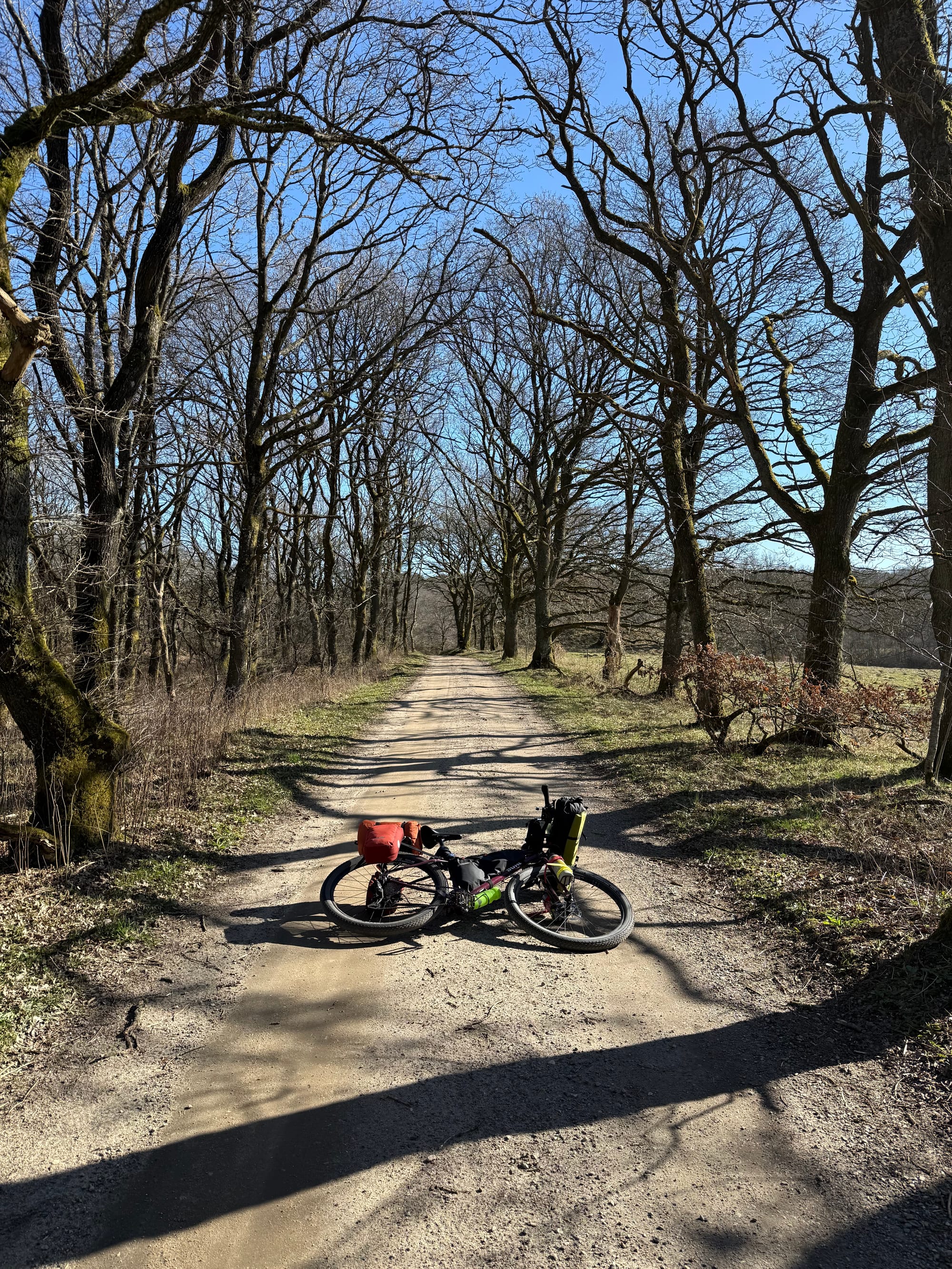
Short day today. Knees aren’t particularly good and I felt a little bit tired. So came next to Engelsholm lake, and found a shelter. Last night’s one quarter open shelter wasn’t particularly good for sleep, and today’s shelter at least barely fits my tent.
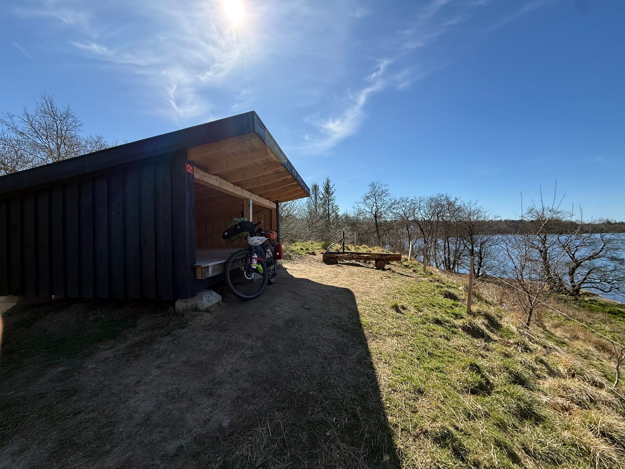
When I was rolling up to the shelter, I found Finn. He told me about King Harald Bluetooth, apparently he had his home in Jelling, the town I passed today. Harald is responsible for official adoption of Christianity in Denmark; as can be seen by a rune stone that he erected. And Denmark is also “the fields (mark) of the Danes”; Harald apparently called it Denmark. He also told me more history of the Hærvejen, an early iron age route that connects North of Denmark to Hamburg; I learned about yesterday from the grandparents. Turns out, this route is right where the ice edge was during the last Ice age, the Jutland ridge (Jyske Højderyg). We also talked about some history of violence in the region, an effect of Roman Empire pushing up against Germania. I think I will travel the Hærvejen next; I did get on and off of it this time.
The sky was good today, and the cold morning eventually became a toasty day. As I am sitting in the shelter, the sky is open to me; I keep thinking of an interview with ultra-endurance athlete Sofaine Sehili. He said, “I need the sky above my head”. When I watched the interview, my first thought was about a relative, who told my Mother that God had taken his sky away, after he got bed ridden. I wonder if that’s the reason why I love to be on the road, because I love the sky. When the Sun is low, or when the stars are out, it’s almost a dream. Last night, I woke up multiple times, trying to adjust my clothes to the cold, at some point I went outside to look the sky. It was clear.
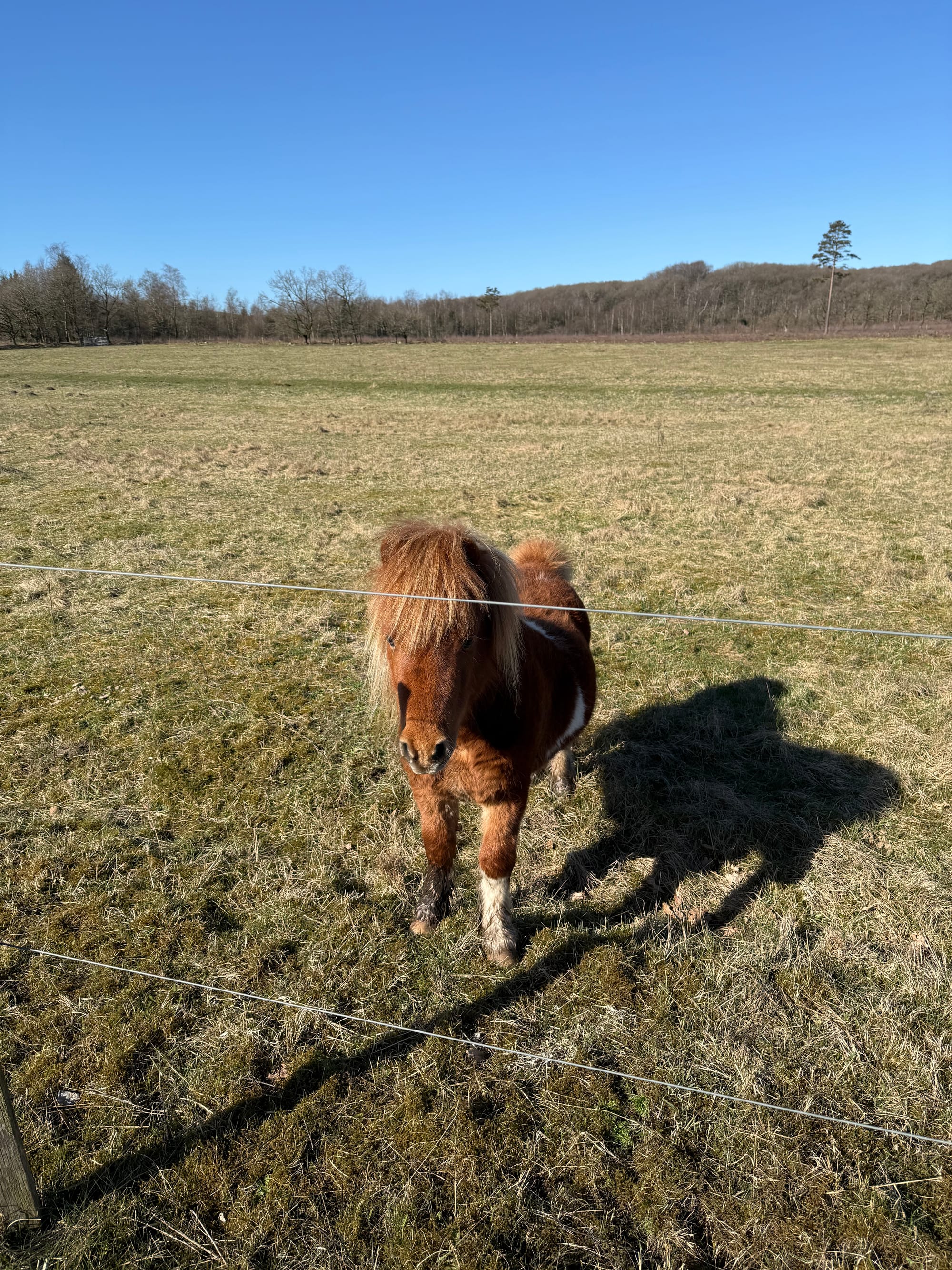
Also a horse said hi.